
Let us know what you think of the trails, or feel free to ask questions in the comments section below!
Miles of marked trails exclusively for hikers and cyclists!
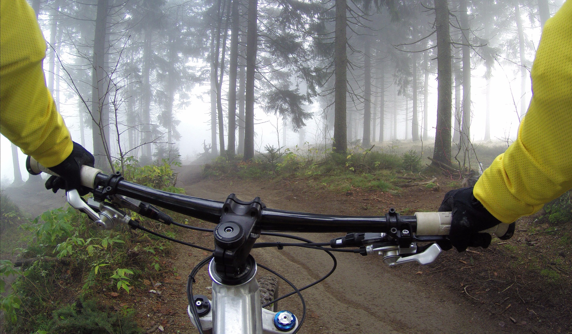
Edwards is home to more than 30 miles of single- & double-track trails designated specifically for non-motorized vehicles. This area is known to land management as Off-road Vehicle Area 3 (or ORV3), to local bikers as the "NASA" trails, and now officially known as Edwards Mountain Biking & Hiking. Click Download Routes below to get the .gpx files for your device!
Parking
Southeast Parking: Park across the street from the paved RV lot at 1643 Forbes Ave. There are 20 paved parking spots available, a large color sign, and a tool stand for your basic maintenance needs. The Green/Blue/Red routes begin on the corner of the aircraft boneyard about 100 yards West of the parking lot.
Northwest Parking: Park just below the NASA antenna hill off to the right of Baker Nunn Road. There is space for several vehicles in the disturbed dirt area south of the powerline road. There is also a large color sign, and a tool stand for your basic maintenance needs. Look for red/white trail markers to connect to the main colored trail lines.
Downloadable Routes
There are three main color trails that increase in distance. Green is 5 miles, Blue is 10 miles, and Red is 15 miles. There are other trails in this mountain bike area, but we advise you to stay on the color routes until comfortable. Brown fiberglass trail markers with stickers show you where to go at intersections. (See the example photo below.). Markers with a red/white sticker show connector routes from the northwest parking lot. It also marks the technical trail called Tech Twisties.
—Leave a comment!—
We would love to hear your opinion!